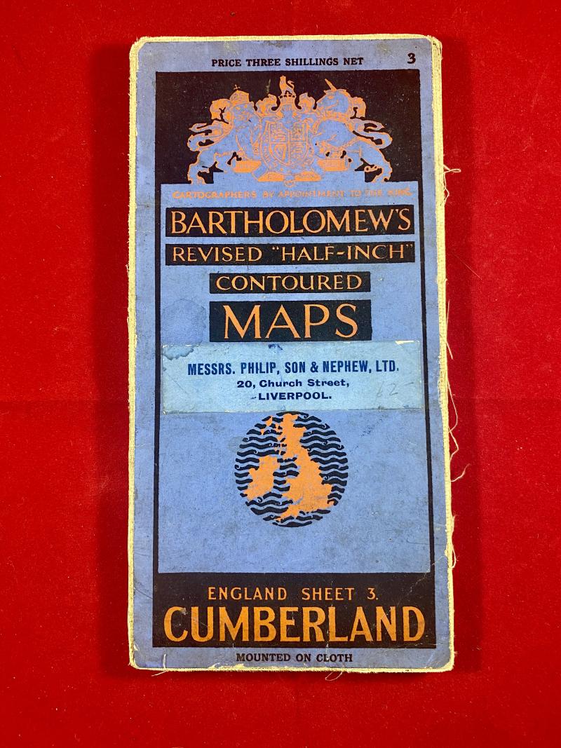
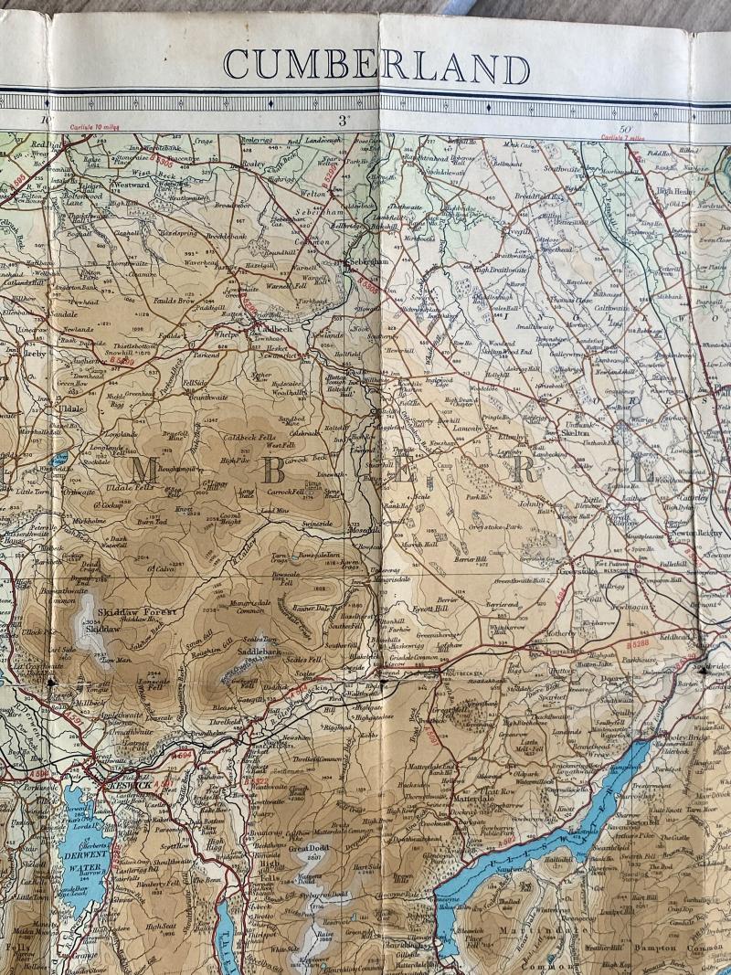
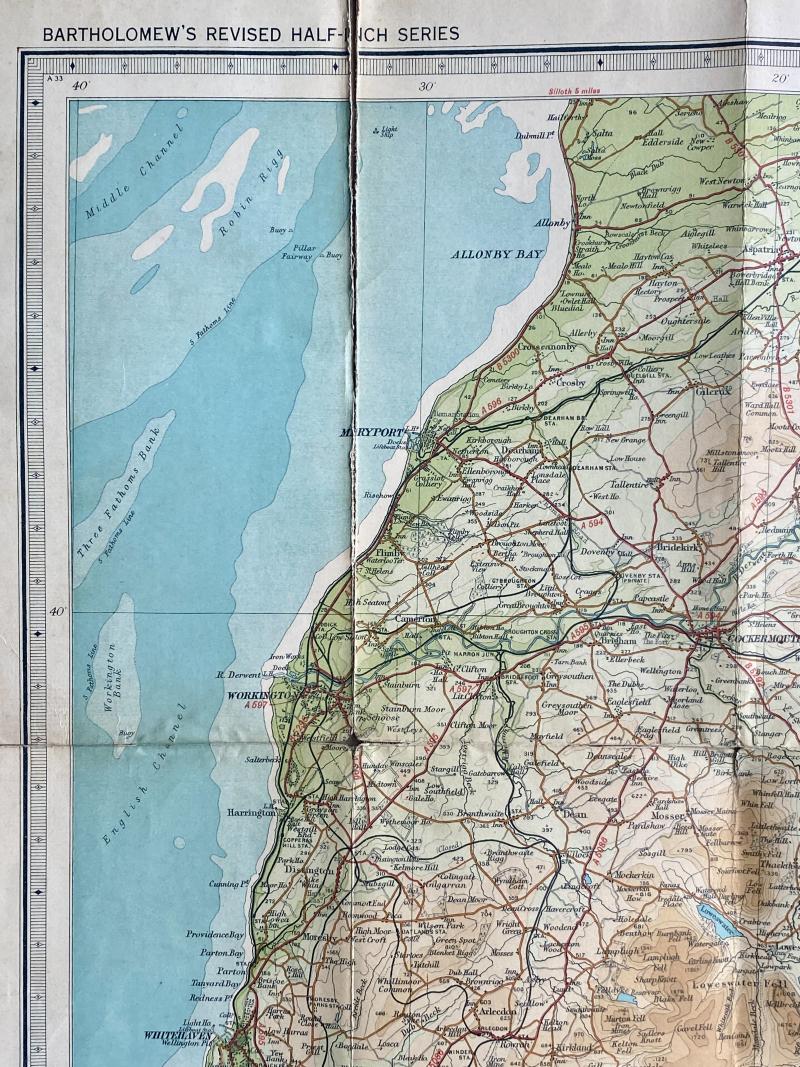
Vintage Bartholomew’s Cloth Sheet Map - CUMBERLAND Sheet 3 - c1935
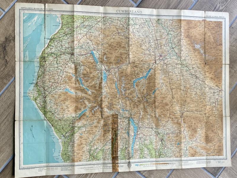
Here on offer is a great Bartholomew’s Revised “Half Inch” Contoured Map, of CUMBERLAND, Sheet 3, dating to circa 1935.
The detailed colour map has been printed on linen backed paper and folds into a card cover.
The map has the following information:
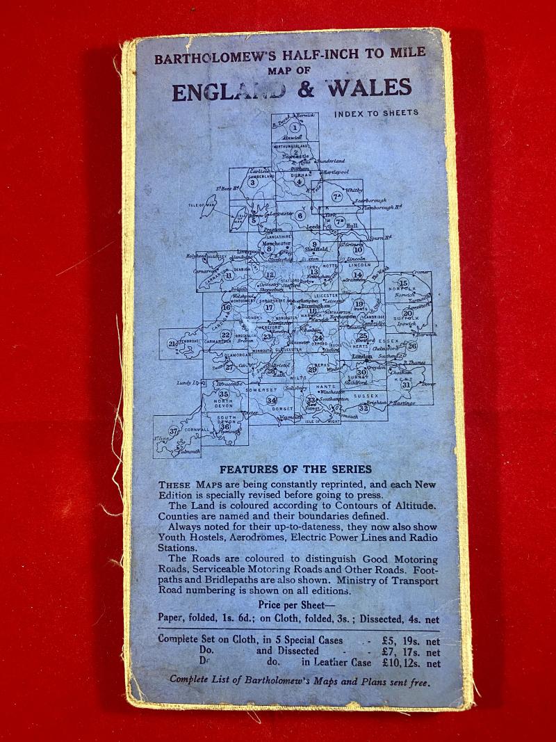
Scale: ½ inch to the mile.
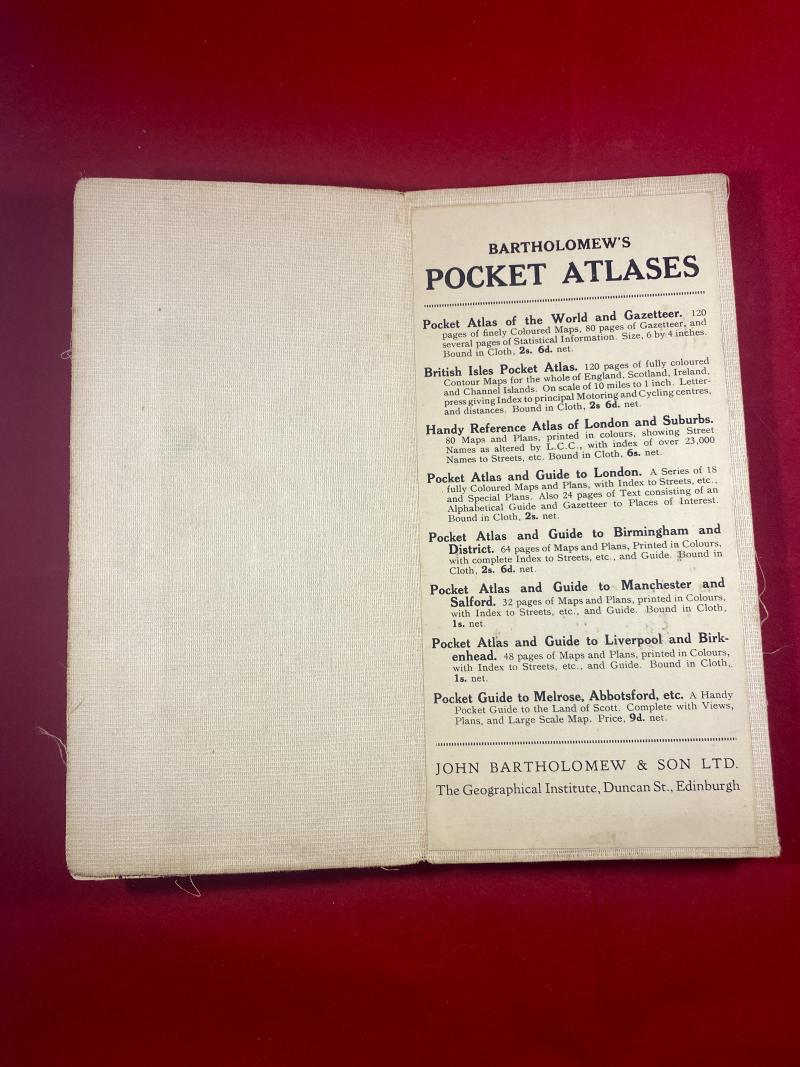
Publisher: The Edinburgh Geographical Institute by John Bartholomew & Son Ltd.
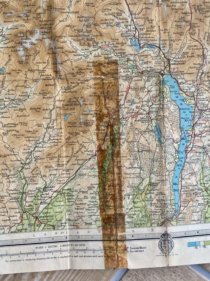
The map has some minor damage, pin holes etc, please see pictures and just the normal wear through use. It also has an old sellotape repair to one fold as shown in the pictures.
The card cover is also in good order.
It would make a fantastic, authentic accessory for the vintage car owner, or can be framed and make a great picture.
The map measures approximately 75cm x 56cm unfolded and 19.4cm x 9.5cm folded
It weighs 80g.
Please see my pictures for the details of the condition, which complement this description.
Please see my TERMS OF BUSINESS regarding Deliver Charges and Insurance regarding additional insurance cover, should you require it, BEFORE the item is dispatched.
The responsibility lies with the customer to check with your Customs restrictions that this item can be imported into your country.
Code: 51761
4.50 GBP